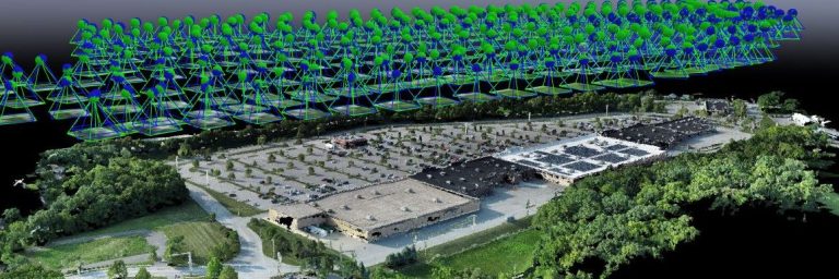
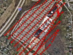

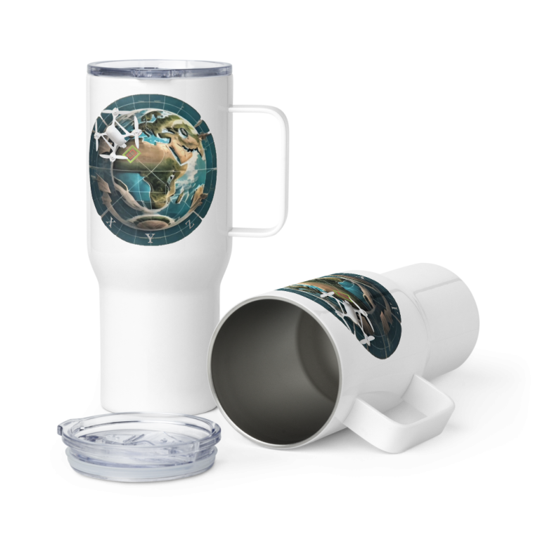
Drone Processing Services
Allow us to handle the processing of your UAS data, providing you with georeferenced Orthomosaic and Building Heights for your project at a fixed rate per site.
Our services extend to covering expansive areas of up to 1000 acres per site. Additionally, the package encompasses building height data for up to 10 structures per site.
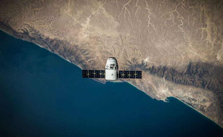
Satellite Imagery Search
Discover the ultimate satellite imagery resource through our Satellite Imagery Providers service, simplifying your search for data by effortlessly filtering options based on your preferred dates and resolutions. Our proactive approach involves reaching out to all satellite imagery providers to compile a curated list of choices that perfectly match your requirements. Seamlessly access this tailored selection for applications like Mapping, urban planning, environmental monitoring, agriculture, and more. Get started today by reaching out to us or emailing the KMZ file of your project area, and let us empower your insights with precision and convenience.
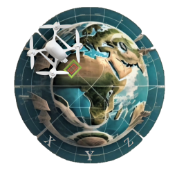
Drone Mapping Research
Are you looking to leverage the capabilities of Unmanned Aerial Systems (UAS) for your academic or professional research projects? Our Drone Mapping Research Service is here to provide you with comprehensive support and expertise.
With years of experience in UAS mapping and a deep understanding of the technology's potential, we're your trusted partner in taking your research to new heights. Our dedicated team of professionals is committed to delivering accurate, timely, and insightful results to drive the success of your research endeavors.

More to Like
Our Mission
We bridge theory and practice in Geomatics, empowering both professionals and enthusiasts. Affordable access is our pledge, driving growth and progress for all.
© Copyright. All rights reserved.
We need your consent to load the translations
We use a third-party service to translate the website content that may collect data about your activity. Please review the details and accept the service to view the translations.