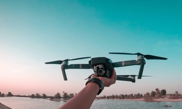
Discover cutting-edge UAS mapping equipment through our affiliate partnerships with renowned manufacturers. Explore the latest drones, sensors, software, and accessories that empower you to capture data with precision and efficiency.
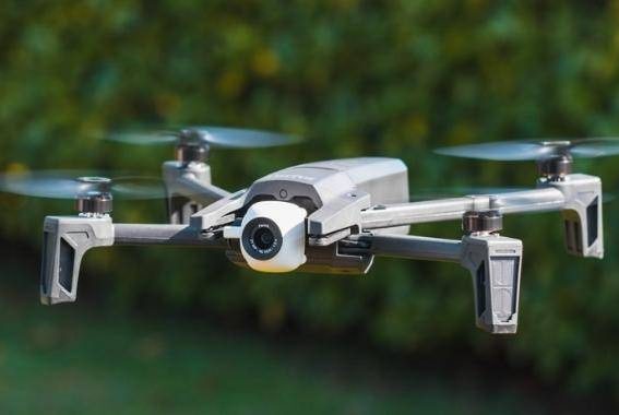
Mapping Drone (Level 1)
Details:
- Up to 15 minutes flight time
- Covers up to 40 acres per flight
- 16-MP camera
- 180-degree gimbal range
- Free from airspace Geo-fencing
Included:
Aircraft, Remote controller, Case, Spare battery, Micros SD card, USB cable, Charger, Set of 8 propellers, Landing pad, virtual training, tech support and account setup.
Mapping Drone (Level 2)
Details:
- Up to 25 minutes flight time
- Covers up to 100 acres/flight
- 20-MP camera
- Obstacles avoidance
- Airspace Geo-fencing
Included:
Aircraft, Remote Controller, Charger, Spare Battery, Case, Spare propellers, USB cable, landing pad, virtual training, tech support and account setup.
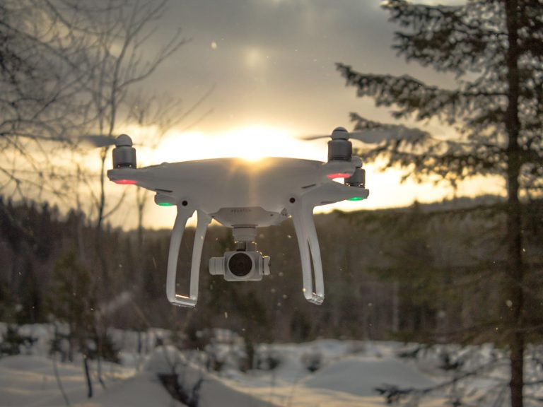
Mapping Drone (Level 3)
Details:
- Up to 40 minutes flight time
- Covers up to 150 acres per flight
- 20-MP camera
- 360° obstacle avoidance
- Free of airspace Geo-fencing
Included:
Aircraft, RC, Spare propeller, Spare battery, USB cables, Carry case, Landing pad, virtual training, tech support and account setup.
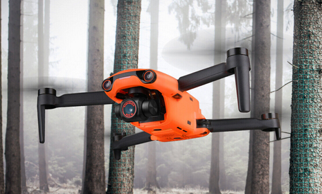
Mapping Drone (Level 4)
Details:
- Up to 45-min flight Time
- Up to 200 acres per flight
- 20-MP camera
- 360° obstacle avoidance
- Airspace fenced
Included:
Aircraft, Remote controller with screen, 6 Spare propellers, Charger, SD Card, USB Cable, and a Case, landing pad, virtual training, tech support and account setup.
Drone Image Processing Software
Cloud-based subscription with training
When you initiate the UAS data cloud service subscription through our store, you'll enjoy the added benefit of having your account fully set up, receiving comprehensive virtual training on how to effectively utilize it, and technical support.
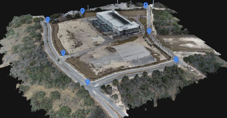
Or allow us to handle the processing of your UAS data, providing you with georeferenced Orthomosaic, Building Heights or any possible data at a fixed rate per site by navigating our Drone Data Processing Services.
Our Mission
We bridge theory and practice in Geomatics, empowering both professionals and enthusiasts. Affordable access is our pledge, driving growth and progress for all.
© Copyright. All rights reserved.
We need your consent to load the translations
We use a third-party service to translate the website content that may collect data about your activity. Please review the details and accept the service to view the translations.